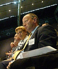
FIG President Stig Enemark attends the GSDI-11 World
Conference
Rotterdam, The Netherlands, 15-19 June 2009
|

The pleasant city environment of Rotterdam.
|
President Stig Enemark attended the GSDI-11 World Conference
entitled “Spatial Data Convergence: Building SDI Bridges to address
Global Challenges”, Rotterdam, The Netherlands, 15-29 June 2009.
GSDI is the Global Spatial Data Infrastructure Association that is an
inclusive organization of organizations, agencies, firms, and individuals
from around the world. The purpose of the organization is to promote
international cooperation and collaboration in support of local, national
and international spatial data infrastructure developments that will allow
nations to better address social, economic, and environmental issues of
pressing importance, see: http://www.gsdi.org/.
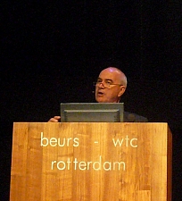
The GSDI-11 conference was very well attended by about 600 participants
from all regions of the world. It included about 30 workshops, 9 plenary
sessions and 70 technical sessions with about 350 presentations. Proceedings
are available at http://www.gsdi.org/gsdi11/
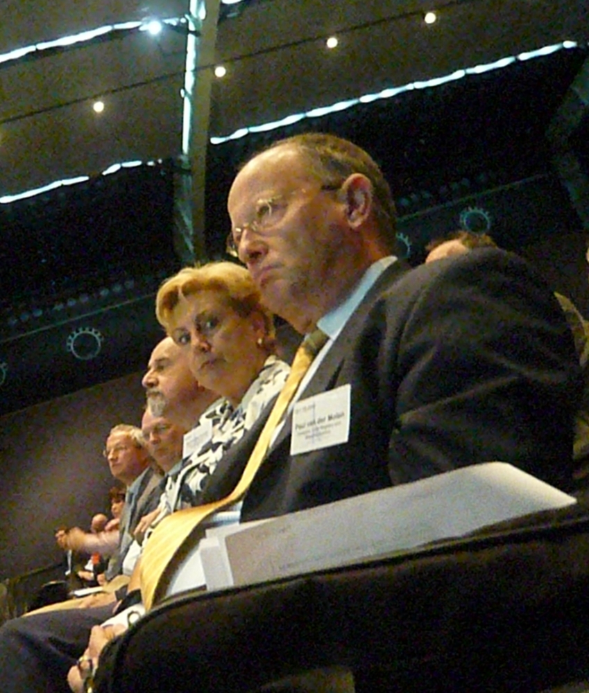
Prof.
Paul van der Molen and Mrs. Dorine Burmanje,
Chair,
Executive Board of the Dutch Cadastre, Land Registry and Mapping
Agency. |

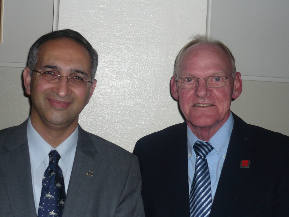
Dr.
Abbas Rajabifard, President of GSDI 2009-2011 and Prof.
Stig Enemark, FIG President 2007-2010.
|
The opening session was focused on the conference theme. An inspiring
keynote presentation was given by Mr. Gary Nairn, Property Consultant
and former Australian Special Minister of State and e-Government Minister
explaining about the need for interaction between the professionals and the
political level of government.
Another inspiring plenary session included a panel discussion lead by
Prof. John McLaughlin addressing the regional efforts of establishing
SDI convergence. The panel members included Santiago Borrero,
Secretary General of PAIGH (the Pan American Institute of geography and
History), Ivan DeLoatch, Director of the Federal Geographic Data
Committee in USA; Dozie Egzigbalike, Chief of Geo-information Systems
Section, UN Economic Commission for Africa; Alessandro Annoni, Joint
Research Council, European Union; and Greg Scott, President of the UN
Permanent Committee on GIS Infrastructures for Asia and Pacific.
President Enemark chaired a joint GSDI/FIG session on land administration
(session 1.3) and presented a paper on Managing Rights, Restrictions and
Responsibilities in Land.
The GSDI-11 World Conference provided an excellent opportunity of
networking and strengthening the cooperation between GSDI and FIG. This
should lead to joint efforts and strategic cooperation towards a spatial
enabled society. FIG and GSDI intends to develop a MoU (Memorandum of
Understanding) in this area to be discussed and agreed during the FIG
Congress in Sydney, April 2009.
|
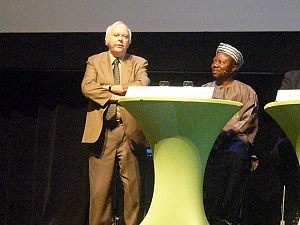
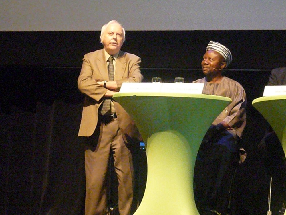
Prof. John McLaughlin, President and Vice-Chancellor
University of New Brunswick and Dr. Dozie Ezigbalike, Chief,
Geo-information Systems Sector, UN Economic Commission for Africa.
|
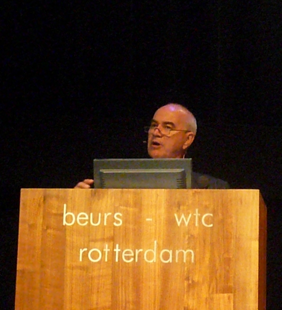
Mr.
Gary Nairn, Property Consultant former Australian Special
Minister of State and e-Government Minister.
|
Read more:
3 July 2009
|