International Conference on Enhancing Land Registration and
Cadastre for Economic Growth in India
New Delhi, India, 31 January – 1 February, 2006
 |
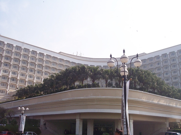
The Taj Palace hotel in New Delhi, India, venue of
the symposium. |
In his foreword to the programme, Prof. Paul van der Molen, chair
of FIG’s Commission 7 on Cadastre and Land Management, highlighted that it
is not always easy to relate investments in land administration systems to
effects on economic growth and poverty alleviation. For India, McKinsey
Global Institute calculated in its report 'The Growth Imperative'
(2001) that removing barriers in the performance of the real estate market
would propel the economic growth with 1.3%. Apart from inflexible zoning,
rent controls and protected tenancies, lack of an efficient land
registration system and cadastre also limits growth rates. The relation
between land policy and poverty reduction was explored in the research
report of the World Bank, 'Land Policy for Growth and Poverty Reduction'
(2003). Both reports justify investment in improving land records and land
access. During a conference organised by the World Bank and the Ministry of
Rural Development, Government of India, the participants even agreed that
improving land administration should be a top-priority for India.
Keeping all the aforementioned in view, GIS Development, Centre for
Science, Development and Media Studies (CSDMS) and Commission 7 of the
International Federation of Surveyors FIG took the initiative to dedicate a
two-day international conference on Enhancing Land Registration and Cadastre
in India, as part of the bigger event Map India 2006.
The event that witnessed participation of around 50 delegates from
different parts of the world, aimed at covering the wide spectrum of issues
of land administration ranging from economic and social benefits of good
land administration on one hand to the application of low cost technology on
the other hand.
Maj. Gen. M Gopal Rao, Surveyor General of India, gave a welcome
address. He highlighted that the majority of disputes in rural areas were
land related, which might some times run over generations. This leads to
chaotic situations for cadastral authorities where they fail to act. In
urban areas heavy pressure on land could be observed combined with a
violation of land laws. He added that decision making on projects was slow
and when decisions were made the population would already have heavily
increased.
Dr. M. P. Narayanan, president of the CSDMS focussed during his
introductory remarks on the importance of establishment of proper land
management, especially in rural areas. He opined that capacity building in
relation to land management was inadequate. In his views, many activities
are going on but not at the desired pace. András Ossko, Chair elect
of FIG Commission 7, stated that sustainable development was the main issue,
not only from environmental perspective but also from perspective of
economic growth and social development. Mr. V. Sampath, Director
General, National Institute for Rural Development (NIRD) mentioned in his
speech that maintenance of data was an issue. Resurveys which are scheduled
are not happening in reality. Not only private but also collective, use
rights and women's access to land are relevant. Dr. Ravi Gupta, CSDMS
focussed on the key issues as India loses 1.3% of the GDP due to distortions
in the land market. This is created due to unmanaged land records and bad
land administration. India's GDP in 2005 is USD 738 billion and 1% loss in
GDP comes to USD 73.8 billion per year. The costs of implementing an online
cadastre are estimated to be 2 USD billion, so the savings are clear. He
further informed that the share of real estate as a percentage of India's
GDP is 7% (2002-2003) and this could increase significantly enabling low
cost housing, employment and greater economic activity.
A panel discussion on the state of Land Registration in India took place
on the first day of the conference. The discussion was chaired by Mr. P.
Sarangi, Director, Land Resources, Ministry of Rural Development, India.
Other key speakers who talked over various aspects of land administration
in India were Dr. D R Shukla, National Informatics Centre (NIC), Mr
P Rajashekhar, Survey of India (SoI) and Ms Padma A S, ISRO.
The presentations made talked over multi-purpose cadastral database,
streamlining and simplification of land records maintenance process,
incorporation of maps, e-conveyancing, and use of GeoICT. It was stressed
that procedures needed to be revised for digital scenarios and integration
between different departments involved into one environment was needed.
In his special lecture on secure land tenure, Mr Vinod Agrawal,
Survey and Settlements Commissioner, Andhra Pradesh, gave an insight of the
pilot project on developing an Integrated LIS. He informed that the proposed
LIS would be title based with conclusive ownership records. Updating would
to be integrated with transactions and the system would be operated by a
dedicated, self-financing agency.
During several lively discussions the points that emerged were that the
balance between land titling based on high accurate survey and mapping
approaches and the importance of completeness and up-to-date-ness of the
land administration is a continuous subject of attention. It seems that
different data acquisition approaches in relation to the value of the land
seem to provide a solution here, but less accurate approaches seem to be
difficult to accept for many.
Institutional arrangements in relation to development and strategic
development are required. Land information has to be made accessible under
low costs. Low transaction costs are important to encourage land
registration. More attention should be given to the requirements of users
and to participatory approaches. Implementation of information technology
(IT) solutions to support a complete, reliable and consistent land
administration will be not a real problem in India. Of course a proper
quality and risk management have to be related to this. Standards contribute
to efficiency; a very important standard is the reference system that could
be upgraded for the usage of Global Navigation Satellite System (GNSS).
Further it was concluded that the court is not a good environment for
providing services. And, land administration is there for all.
During the event deliberations also took place over India’s possible plan
to be the member of the International Federation Surveyors (FIG). FIG’s
Commission 7 showed its interest of extending full support in this regard.
Saurabh Mishra, GIS Development
Christiaan Lemmen, FIG Commission 7
More information:
February 21/April 3, 2006 |